Climate Datasets
TEMPERATURE, HUMIDITY, PRECIPITATION (PRISM)
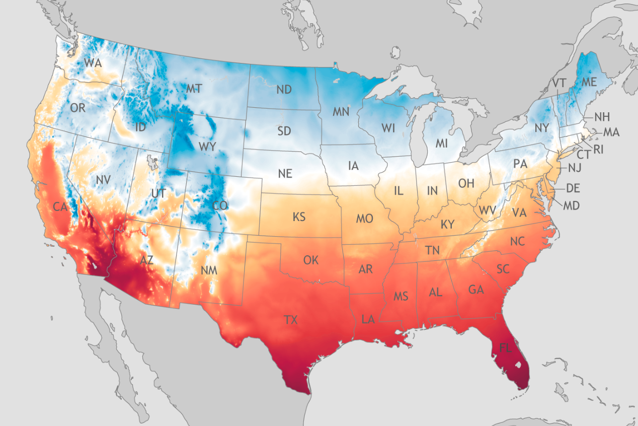
Spatial Scale: 800m, Contiguous US
Range of Years: 1971 – present.
Frequency of Collection: Daily
GLOBAL FLOOD MAPS
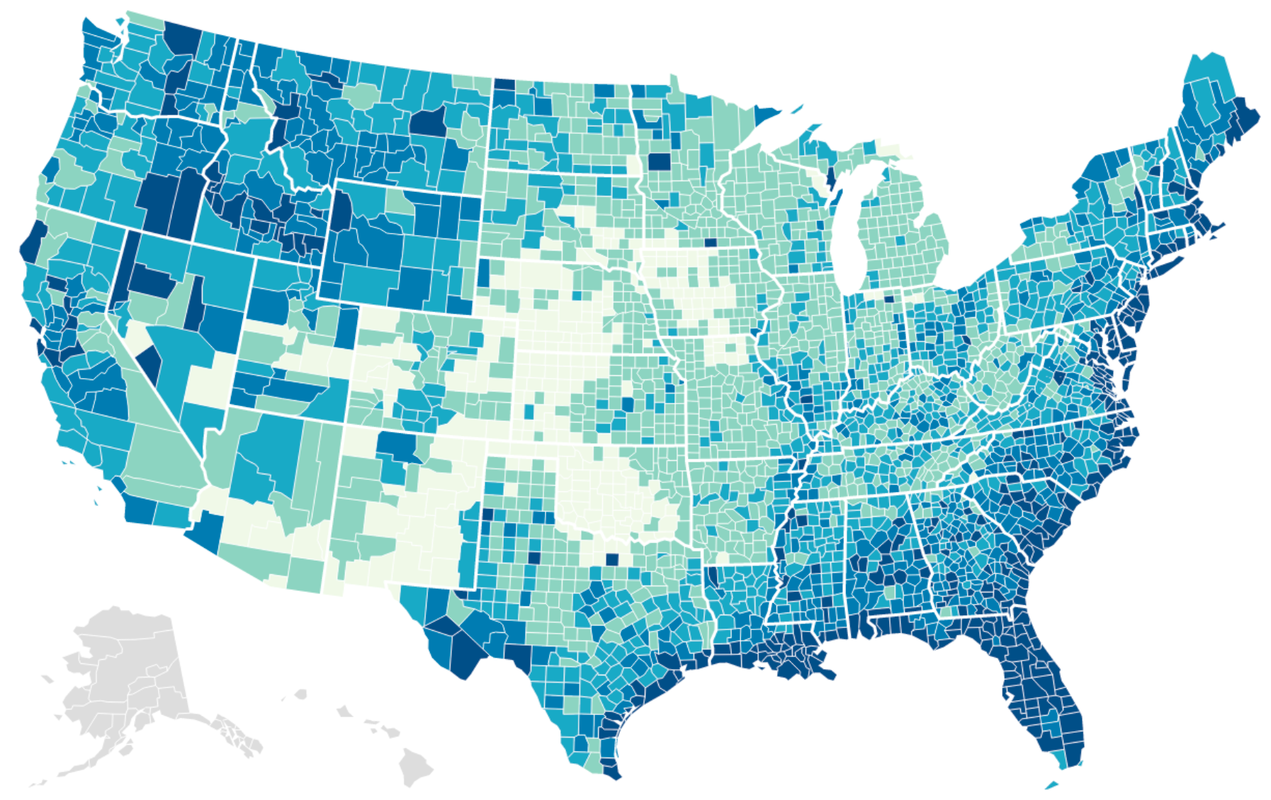
Spatial Scale: Global, 250m
Range of Years: 2000 – 2018
Frequency of Collection: 913 large flood events (Event-based)
Credits: Louisiana Illuminator