Dataset
DATASET CATEGORIES
SOCIOECONOMIC

Spatial Scale: Census tract, Census block group, Contiguous US (Zipcode)
Range of Years: 1970 – 2024 (different based on each dataset)
Frequency of Collection: Annual, Decennial.
Interested in checking the list?
Credits: CNBC Make it
AIR POLLUTION
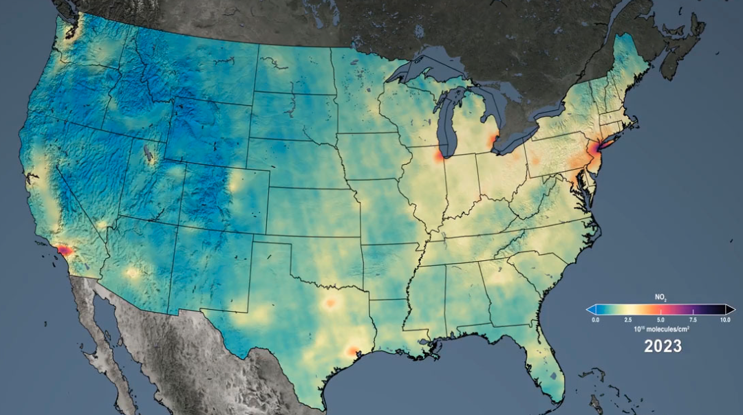
Spatial Scale: 1 km x 1 km grid, Contiguous US, Contiguous US (Zipcode)
Range of Years: 2000 – present (different based on each dataset)
Frequency of Collection: Daily, Annual, Decennial, Seasonal.
Interested in checking the list?
Credits: Our Nation’s Air
CLIMATE

Spatial Scale: 800M, Contiguous US, Global, 250m
Range of Years: 1971 – present (different based on each dataset)
Frequency of Collection: Daily, event-based.
Interested in checking the list?
Credits: US Environmental Protection Agency
BUILT AND CONTEXTUAL ENVIRONMENT
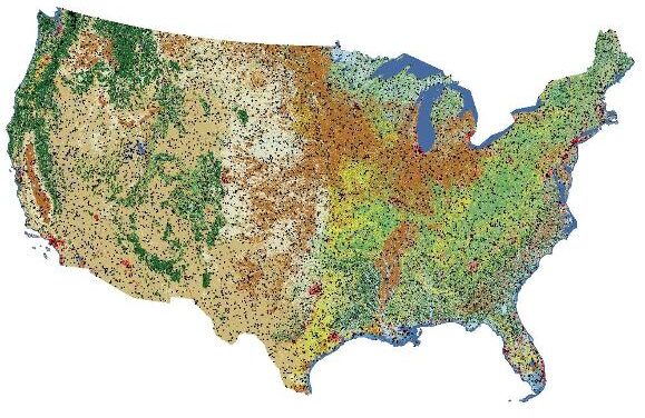
Spatial Scale: National, 30m x 30m, National 1km x 1km, 500m
Range of Years: 1985 – 2020 (different based on each dataset)
Frequency of Collection: 16-day interval, annually.
Interested in checking the list?
Credits: Annual NLCD Collection 1.0 Reference Data Product
HEALTH CARE ACCESS
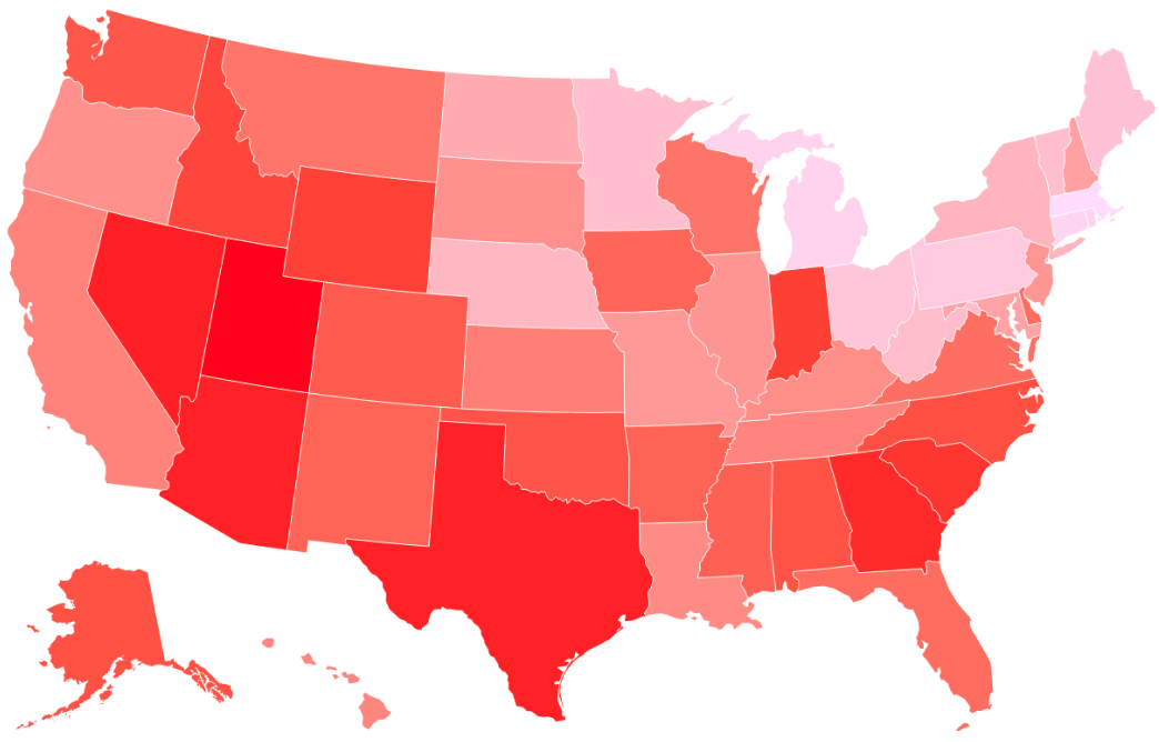
Spatial Scale: National, 30m x 30m, National 1km x 1km, 500m
Range of Years: 1985 – present (different based on each dataset)
Frequency of Collection: 16-day interval, annually.
Interested in checking the list?
Credits: Newsweek